
there was no Europe between 1945 and 1989
the cultural tourist as recipient
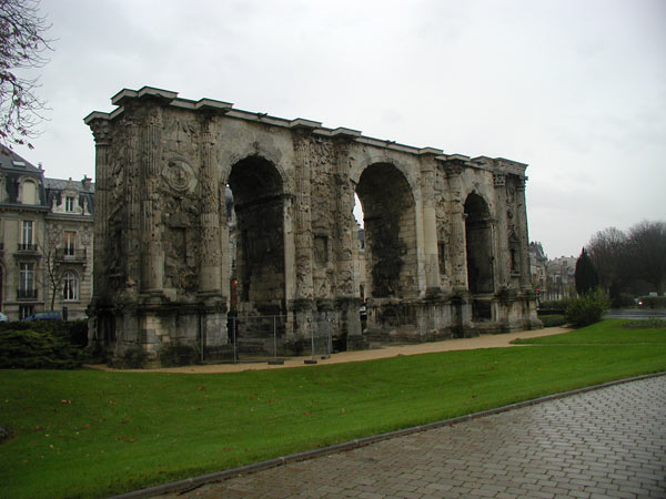
cartographic presentations in the internet
geographical specific data and Geographical Information Systems
isolated applications of cities and local authorities
internet cartographic presentations
Touristical information systems provide various information from all ranges of tourism for many different target groups. However
those presentations of touristical information in digital media takes place in form of texts and images mostly. In the majority
of cases the areal topographic access is missing although 80 percent of touristical relevant information include a geographic
spatial link. The implementation of materials based on normal databases and connected content management systems in form of a
text-image-combination is uncomfortable for the end users and hardly to navigate through presentations of wide geographical areas.
Thus a remote sensing of cultural routes becomes impossible.
According to this the awareness of importance of spatial links in order to visualize landscape with internet and multimedia
is growing since few years.
The European Union started an initiative to develop a European infrastructure of geographical data by launching the INSPIRE
strategy (Infrastructure for Spatial Information in Europe) that for the first time aims at pan-European harmonization of geographical
data, services and standards for political, economical and public purposes. The member states weave national strategies into this
common decision that then are continued in regional working groups and action plans.
Initially those developments aim at a summarized visualisation of all available geographical basis data that describe landscape
(topography) interest neutrally in order to provide end users an easier overview and a faster access to existing map systems.
As end result a dynamic view should be available in that all national and regional maps should be involved.
In these fields of topographic online systems the offerings provided by the private sector are already high-developed.
Area-wide geographical basis data have been published with comfortable navigation, in detailed visualization and including
optic ‚extras’ (e.g. satellite images) as well as a variety of planning functions (searching for addresses, calculation of courses, etc.).
Those maps that often had been developed as route planners e.g. map24.com, michelin.de, maps.google.com can be called up on computer systems
(browser) but also with portable terminals (mobile, GPS, etc.).


